- Journal Information
- Indexing
- Journal Metrics
- 1.5 (2-Year Impact Factor)
- 1.4 (5-Year Impact Factor)
- 2.9 (CiteScore)
- 0.898 (SNIP)
- 0.451 (SJR)
- Editorial Board
- Author Guidlines
- History: prior to Jan. 01, 2008 this journal was named Analele ICAS
- Archiving

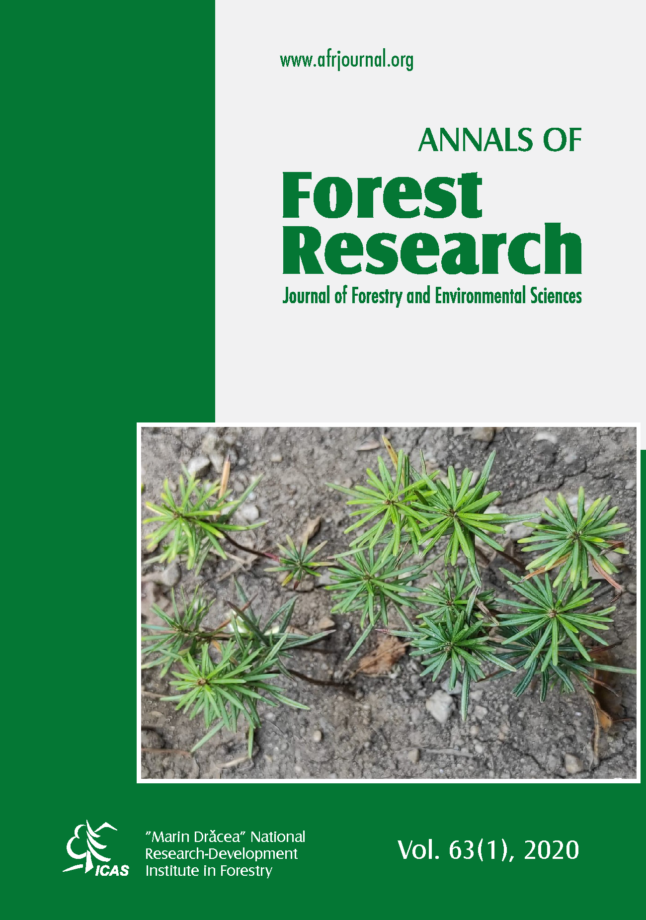
CLASSIFICATION AND ABOVE GROUND BIOMASS MAPPING OF INDIAN LANDLOCKED MANGROVE FOREST THROUGH SAR DATA
Archana Singh1,2* and Seema Mahajan2,1
One of the most productive ecosystems, mangroves have numerous ecological advantages. They are the largest carbon absorbers, which means they are vital to preserving the balance of the environment. In order to safeguard, conserve, and plan for the replanting of these priceless natural resources, reliable thematic maps of mangrove ecosystems and models for mangrove above-ground biomass (AGB) assessment are essential. In this study, the Google Earth Engine was used to create a thorough mangrove ecosystem map and AGB model for the Guneri mangrove forest in the Kutch area of Gujarat, India, using Sentinel-1 A satellite images in conjunction. This research emphasizes the capacities of Sentinel-1A, SAR images for mangrove characteristics mapping, and the model generated is verified using ground truth data collected from the field survey of 127 sample points. For a more precise model, synthetic data is generated using Generative Adversarial Networks (GANs), and the min-max normalization technique is employed to normalize the data. Mangrove vegetation is mapped using a pixel-based random forest (RF) classifier, with an average overall classification accuracy of 91% and RMSE of 0.506. For AGB model generation the machine learning techniques applied to the dataset are Extra Trees Regressor, XGB Regressor, Random Forest Regressor, Bagging Regressor, and Decision
Tree Regressor. Comparatively, it is found that Extra Trees Regressor demonstrated a good validation accuracy of 66% with 0.10 RMSE. This work validates the applicability of Random Forest (RF) and Extra Trees Regressor algorithms for mapping and estimating AGB for a unique landlocked mangrove site of Guneri, and it is observed that the results and robustness of the model are highly affected by the usage of a larger dataset and the geographical parameters of the study site.